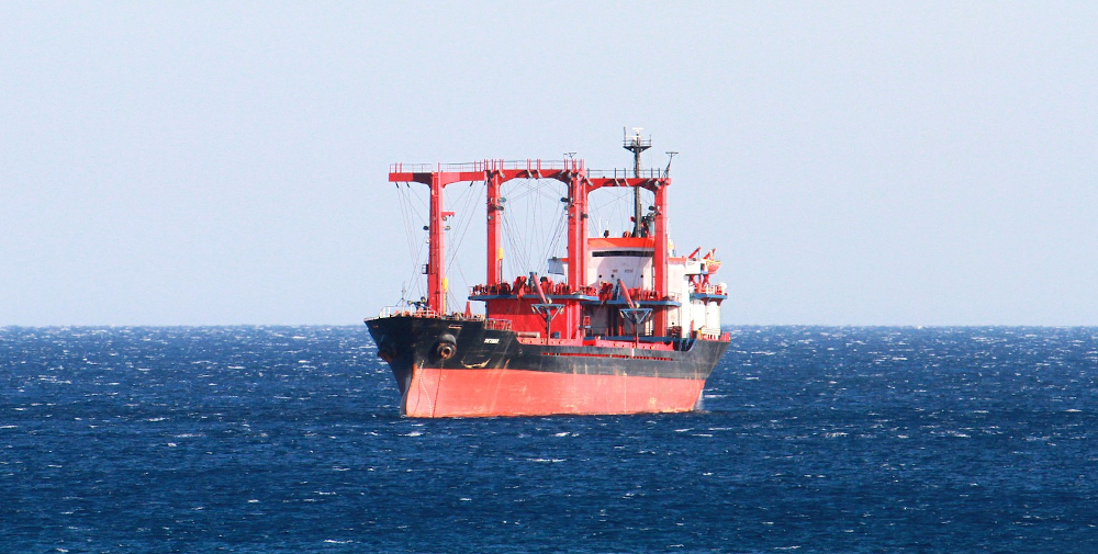

Example of the different routing options that were analyzed statistically, in order to assess risk indicators and potential impacts on the path of the tug.
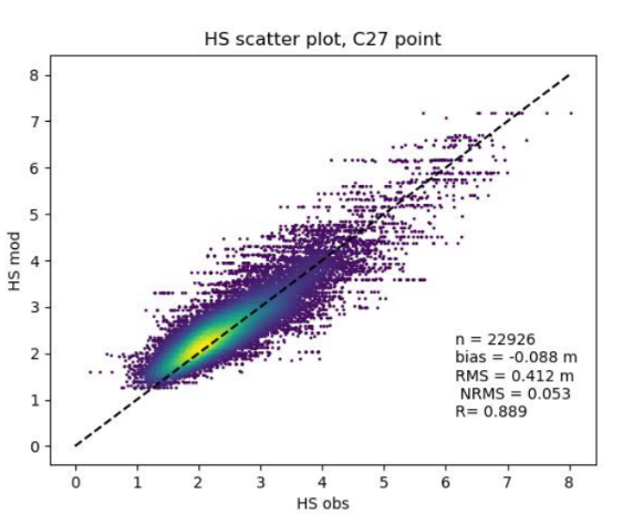
The figure above shows a comparison between the waves height calculated by our model and those measured by satellite in a precise point. The excellent correlation between the model and the actual measures demonstrate the reliability of our results.
In addition to the calculation of extreme conditions, NOVELTIS has investigated statistical route optimisation scenarios,that calculate the duration of routes according to the month of departure and by integrating the nominal speed of the boat, the impact of sea conditions (waves and current) on this speed according to the boat’s heading.
NOVELTIS has chosen to develop its own systems based on user requirements, its expertise and its deep understanding of meteorological and oceanic issues in order to be able to offer reliable statistical information on any region of the globe.
Means used
Elaboration of an advanced statistical calculation chain to determine extreme events in cyclonic and non-cyclonic conditions
Use of long time series of wind and waves
Use of piracy and hurricane trajectory databases
Results
NOVELTIS has developed an innovative methodology allowing to assess the peak values of waves and winds, making the difference between cyclonic and non-cyclonic conditions. An unprecedented work was performed on the paths of cyclones, in order to successfully split the data.