

In addition, local scale characterization of surface hyperspectral/directional reflectance provides important constraints in order to support cross-comparison between space-borne sensors and may contribute to better understand the determinism of the spectral and directional variations of the surface reflectance depending on its mineral composition and roughness.



Means used
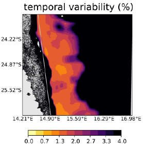
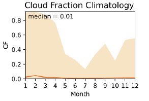
The identification of sand PICS relied on the analysis of time series of satellite derived images of surface optical properties over large areas of interest at coarse (PARASOL) and medium (MODIS) spatial resolutions. We preliminary defined several metrics to quantify the temporal stability, spatial uniformity, anisotropy, of the surface. The determination of these metrics the satellite images enabled to identify the most "optimal" targets.
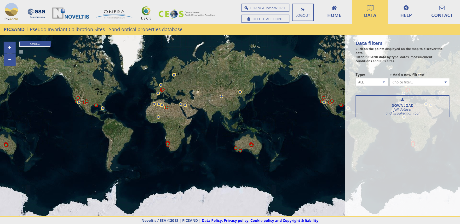
In parallel, we designed a database of sand optical properties. It compiles the spectro-directional reflectance measurements performed in the frame of the study, and several other datasets shared by scientific researchers. The data were homogenized and formatted, and made available via a dedicated web site (picsand.noveltis.fr)
Results
Client / Partner(s)